Custom Weather Graphics

Custom Weather Graphics Tailored to Your Needs


Accessing high quality weather graphics is at your fingertips with Praedictix. We specialize in creating high-quality, customized weather graphics that enhance your storytelling and elevate your brand. Whether you need engaging visuals for broadcast, digital media, corporate presentations, or internal decision-making, Praedictix delivers professional weather graphics designed specifically for your audience and your needs.

Why Choose Praedictix for Weather Graphics?

Custom-Built for Your Brand – We offer white-label solutions and seamlessly integrate your branding, colors, and design elements into your maps and graphics, ensuring a cohesive and professional look.

Expert Driven – Our seasoned meteorologists are experts in broadcast and weather communication. We’ll help you choose the most impactful weather graphics to engage your audience and convey critical information with clarity.

High-Resolution & Broadcast-Ready – Whether for live TV, digital platforms, or print materials, our graphics are produced in high resolution and formatted to your specifications.
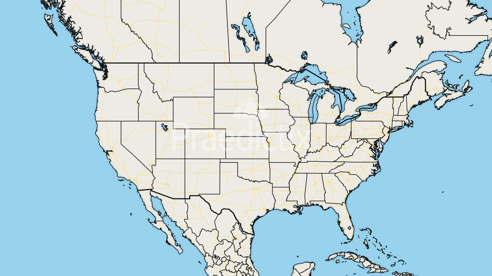
Any Location – We create maps for any location worldwide, from hyperlocal city views to wide-scale national and global perspectives, tailored to your specific needs.

Access to Powerful Weather Data  – Powered by a robust, data-driven weather database, we create a wide range of weather visuals—from daily and extended forecasts to severe weather tracking, hurricane maps, and climate analysis—ensuring accuracy, clarity, and reliability.

Who We Serve

🌎 TV Stations & Digital Media – Enhance your storytelling with visually compelling, real-time weather graphics.
🏢 Businesses & Energy Sector – Gain insights with customized weather risk graphics tailored to your industry.
🎤 Event & Sports Organizations – Ensure safety and preparedness with weather impact visuals for outdoor events.
📡 Aviation & Transportation – Get high-impact weather analysis to support critical decision-making.

Classic Maps

Radar

Radar updates every 6 minutes. Static and looping options.

Satellite

Satellite imagery options include visible (geocolor & standard), infrared (color and B&W), and water vapor. Static and looping. Updates every 15 minutes.

Current Conditions

Current conditions available: temperature, dew point, humidity, wind speed, wind gusts, wind direction, wind chill, heat index, feels like, and visibility. Updated every 30 minutes.

Advisories

Advisory maps can be updated as often as every 3 minutes. Legends available.

Forecast Maps

Forecast highs and lows with city plots and weather icons.

Forecast Precipitation

Forecast snow, rain, and ice available. NDFD, NAM, and GFS data.

Panel Graphics

7 Day Forecast

Extended forecasts for any zip code.

Current Conditions

Current conditions panel for any zip code. Choose from a variety of available current data. Updated every 30 minutes.

Day Planners

Our day planners split up the day as you see fit with your audience. Select forecasts from different times of the day for any zip code.

Forecast Panels

Traditional today, tonight, and tomorrow forecast panels for any zip code.

Hourly Forecast

Hour-by-hour forecast for any zip code.

Specialized Graphics

Severe Storm Outlooks

Our Severe Storm Outlooks bundle includes severe weather outlooks and hail, wind, and tornado probability maps with legends.

Storm Reports

Storm report maps updated every 15 minutes broken out into categories: all, severe, rain/flood, winter.

Long-Range Weather Outlooks

Climate Prediction Center (CPC) temperature and precipitation outlooks: 6 to 10 day and 8 to 14 day.

Fire Weather Outlook

Day 1 and day 2 fire weather outlooks updated daily.

Active Fires

Active large fires in the U.S.

Air Quality

Current air quality maps updated every 15 minutes.

Observed Precipitation Maps

AHPS precipitation maps: observed and departure from average (1 hour, 1 day, 7 days, 14 days, 30 days, 60 days, 90 days, 180 days, month-to-date, year-to-date, water year-to-date).

Snow Depth

Current snow depth in the U.S. updated daily.

River Observations

National Weather Service (NWS) river observations updated hourly. All river levels or flood-only river levels available.

WSSI Products

Featuring NOAA’s WSSI (Winter Storm Severity Index) graphics for any geographical location in the U.S.

Base Map Options

Connect With Us!

Product Interest

10 + 8 =