Weather Graphics Menu
Base Map Options

Terrain Map

Dark Map
Flat Map

Blue Marble Map
Available Preset Views
National and regional views available. Custom views with custom city plots are also available for a one-time design fee. Additionally, we provide Atlantic, Pacific, and other International views. Please inquire.

National View

Northeast View

Mid Atlantic View

Southeast View

North Central View

Ohio Valley View

Central Plains View

Northwest View

Southwest View
Classic Maps


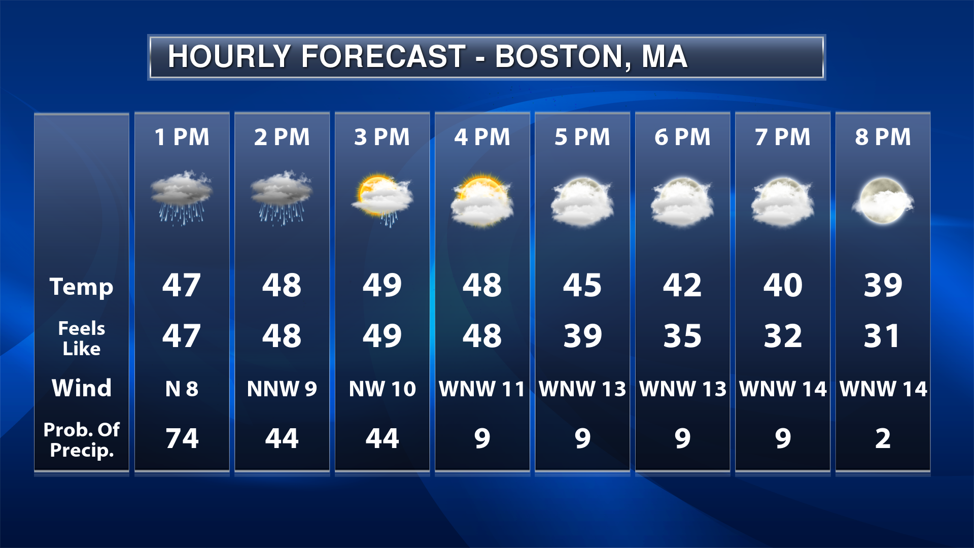
Panel Graphics


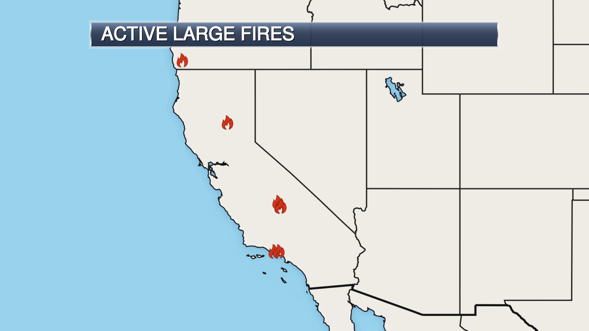
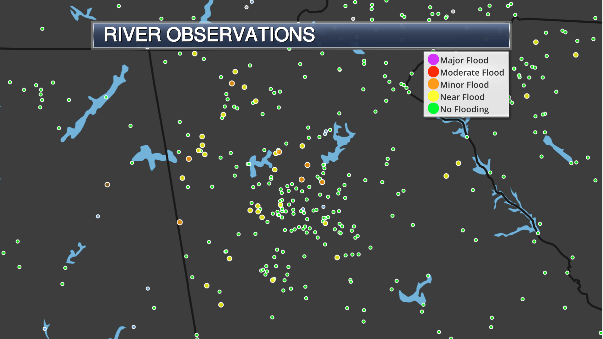
Specialized Graphics