Quick Florence Nuggets
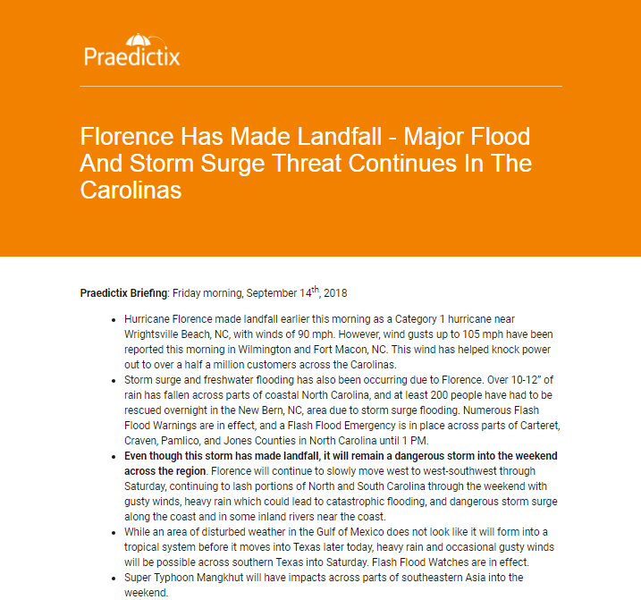
- Hurricane Florence made landfall September 14, 2018, near Wrightsville Beach, NC, bringing extreme rainfall and catastrophic flooding, as well as damaging winds to the Mid-Atlantic over a several day period.
- In both North and South Carolina, the previous record rainfall from a tropical system was shattered.
- Praedictix meteorologists helped keep our clients informed of the latest on Florence through our corporate weather briefings and video updates. We also kept the public up-to-date with numerous updates on social media platforms.
Recapping The Devastation From Florence
Rainfall

Heavy rain and flooding were the largest stories that came out of Florence, with over double-digit rain falling across parts of the Carolinas. At least three reporting stations in North Carolina picked up over 30” of rain, including a top total of 35.93” 6.2 miles northwest of Elizabethtown. In South Carolina, the top rainfall total (23.63″) was reported 2.9 miles west-southwest of Loris.

Florence will now hold the all-time rainfall record from a tropical system in both North and South Carolina. The North Carolina record was previously held by Hurricane Floyd in 1999 (24.06” near Southport). The South Carolina record was held by Tropical Storm Beryl in 1994 (17.45” near Jocassee).
Flooding

This heavy rain triggered extreme flooding across parts the Mid-Atlantic, with numerous Flash Flood Emergencies issued including in south Charlotte. Several river sensors saw flooding reach record heights, surpassing previous records from Hurricane Floyd (1999) and Hurricane Matthew (2016). So much water is still filtering downstream two weeks after landfall that some rivers continue to be in major flood stage. Major storm surge flooding also occurred, causing over 400 water rescues to be completed in New Bern.
(RELATED: Florence In Images)
Wind Gusts

Damaging wind gusts also occurred with Florence as the system approached the coast. A peak reported wind gust of 112 mph was reported at a buoy 30 miles southeast of New River Inlet. In both Fort Macon and Wilmington, a peak wind gust of 105 mph was observed. A wind gust of 97 mph was also reported at Cape Lookout.
How Did Praedictix Provide Information On Florence For Our Clients And The Public

Throughout Florence, we kept our corporate clients informed with the latest through our corporate weather briefings. In the days leading up to and after landfall, we sent out briefings several times a day with the latest forecast information. These particularly focused in on the catastrophic rain and flood threat from the Florence. Due to the threat that Florence posed to the United States, we publically released our morning briefings on our blog which you can view here.
Hurricane Florence Category 2 Storm – Nearing Landfall
Update on #HurricaneFlorence – Latest update suggests a category 2 storm with 105mph sustained wind. Life-threatening storm surge of 9ft to 13ft+ and historic rainfall amounts nearing 40" can't be ruled out. Meteorologist Todd Nelson has more:
Posted by Praedictix on Thursday, September 13, 2018
Our video clients were also kept up to date before, during, and after the storm with the very latest visuals and forecasts with our meteorologists on-camera telling the story.
Damage from #Florence between Emerald Isle & Atlantic Beach, NC. Coastal water is slowly receding but river flooding remains a huge concern as some rivers won't crest until Monday.
Video: Martin Herrera TW:@9Cowboysrule pic.twitter.com/JegAf8YfgV
— Praedictix Weather (@Praedictix) September 16, 2018
Praedictix also kept the public informed about the potential and ongoing impacts on Florence on our social pages. You can see a Twitter Moment highlighting our tweets (in the form of images, photos, and videos) on Florence from the start of the system off the African coast up through landfall and the flooding afterward. On our website, we also provided static graphics that showed the expected track, forecast rain, and current watches and warnings.
Why Use Praedictix?
As colleague meteorologist Todd Nelson mentions: meteorologists add value to the forecast but not all weather sources are created equal.
If you’re a business owner: a weather app is not enough to make important business decisions. Our team of expect meteorologists can help add that value to the forecast, providing the analysis, context, and perspective you need to optimize your business.
Meanwhile, if you need weather videos, our team of degreed, certified meteorologists has decades of broadcast experience and will tell your hometown weather story with accuracy and authenticity that keeps viewers coming back for more. The meteorologists at Praedictix have a passion for storytelling and delivering colorful, informative and relevant weather updates to their viewers.
And just as we did on our website, we can provide you graphics that focus in on the tropics – or for your local area as well. From television to websites and social media, our high-resolution weather graphics and weather maps come in all shapes and sizes, for any geographical location. We have multiple options for base-maps and a full suite of weather data layers to choose from.
Don’t be shy – get in contact with us and let us know how we can wade through the meteorological noise and find solutions to your weather needs.
Follow Meteorologist D.J. Kayser On Social Media:
Follow Praedictix Weather On Social Media:
– Meteorologist D.J. Kayser

